
Will County Neighbor Sources
The immediate block is built from separate public layers. The GIS parcel map supplies shape and location. Assessment records match an address or PIN to a tax parcel. Recorded documents can confirm legal parties. Voter tools only verify one qualified match, and community archives add past context.
| Source | What It Shows About a Block | Access |
|---|---|---|
| GIS parcel layer | Parcel shapes, situs, PIN, class, public map fields | Free map and REST service |
| Address and roadway layers | Numbered points and street geometry | County GIS viewer |
| Assessment search | Parcel matches by number, street, city, or PIN | Free county portal |
| Recorder index | Deeds and named parties linked to parcel or address | Online generally 1965 onward; archive fallback |
| District layers | School, fire, library, park, township, and other boundaries | GIS geography, not a people roster |
| Directories and archives | Historical occupants and community references | Library shelf, staff help, and local collections |
Owners and occupants are not the same. A mailing address can differ from the property's physical situs address, and a parcel can be held by a trust or company. These limits matter before naming anyone as a neighbor.
Click Adjacent Will County Parcels
The county's official parcel layer is the most direct way to see which lots touch an address.
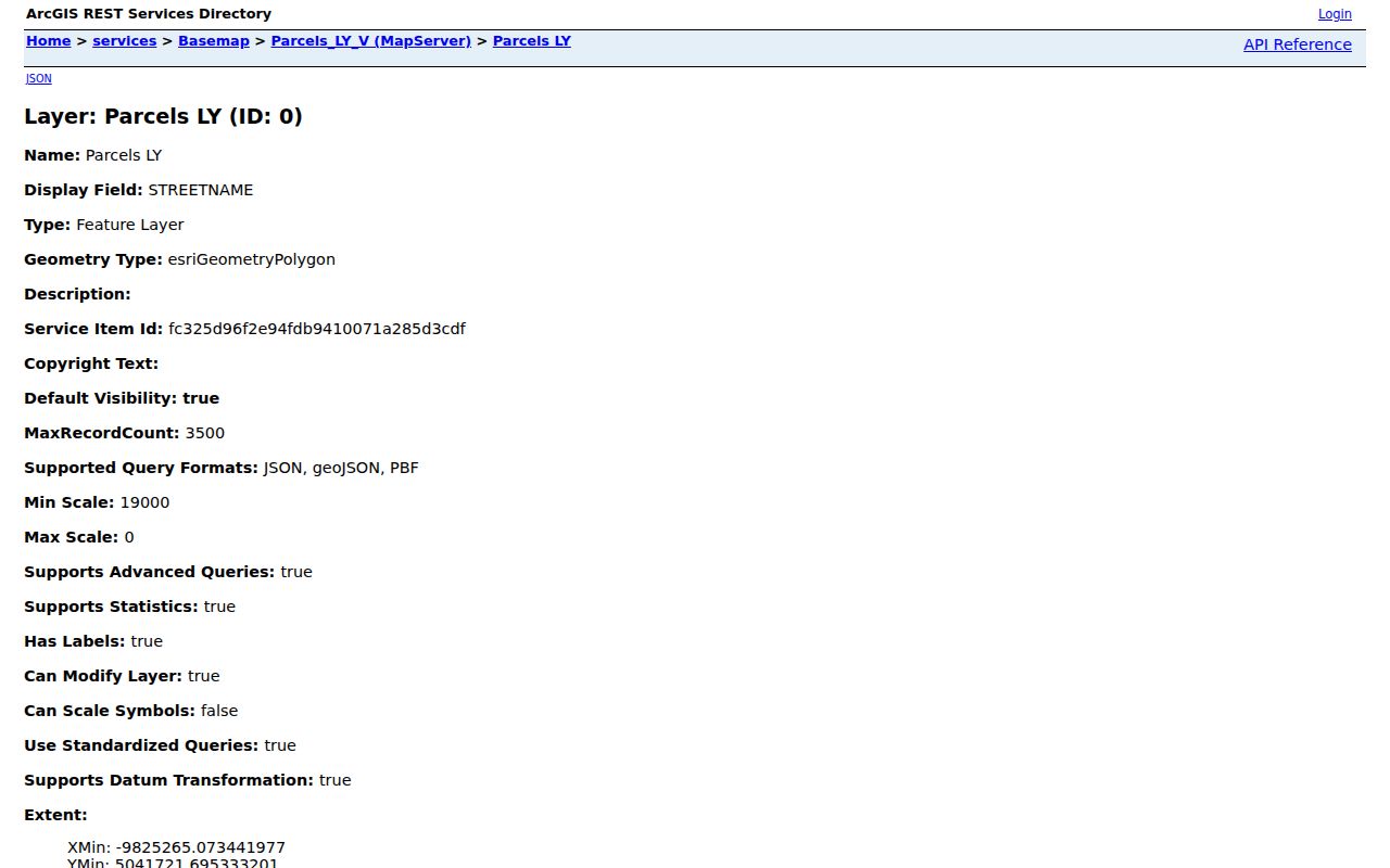
The layer exposes each polygon separately, which prevents one owner's details from being copied onto the parcel next door.
- Search the address in the assessment portal and copy its parcel PIN.
- Open GIS and turn on parcels, address points, roads, municipalities, ZIP, and needed district layers.
- Click the target parcel, then click each adjoining polygon on every side.
- Carry each PIN into the assessment or Recorder search as a distinct record.
- Narrow a REST spatial query when a map response exceeds its transfer limit.
The exact viewer label for a buffer tool was not verified. Map browse, parcel clicks, and spatial REST queries are the documented ways to work outward.
Check Will County Neighbor Parcels
The Supervisor of Assessments separates address, PIN, owner, sales, subdivision, and property-class searches. The address form accepts a street number, street name, and optional city or town. A number or street may be used alone, so a tight search is safer on a dense block.
The assessor PIN search shown below accepts a full or partial parcel identifier with dashes optional.
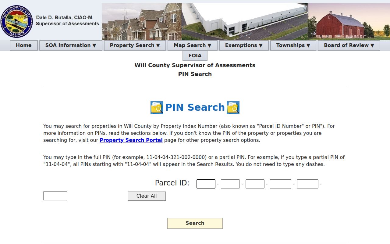
The PIN gives each nearby lot a stable bridge into tax and recorded-document sources even when street labels vary.
For recent sale context, the assessor sales search includes date, amount, match type, and subdivision controls.
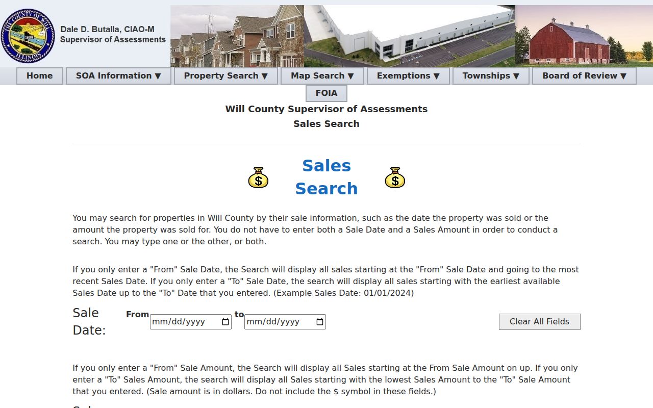
Sale data can show a block's recent turnover, but it remains a parcel event rather than proof of who occupies the site now.
Read Will County Block Layers
A block sits inside more than a street grid. The GIS viewer offers municipalities, townships, ZIP polygons, school and library districts, fire and park districts, sanitary and mosquito districts, street-lighting districts, TIF areas, zoning, flood data, aerials, and historic sites. Each layer answers a geography question. None establishes membership in an association.
The county's current vector-data page documents parcel, address, road, and boundary datasets.
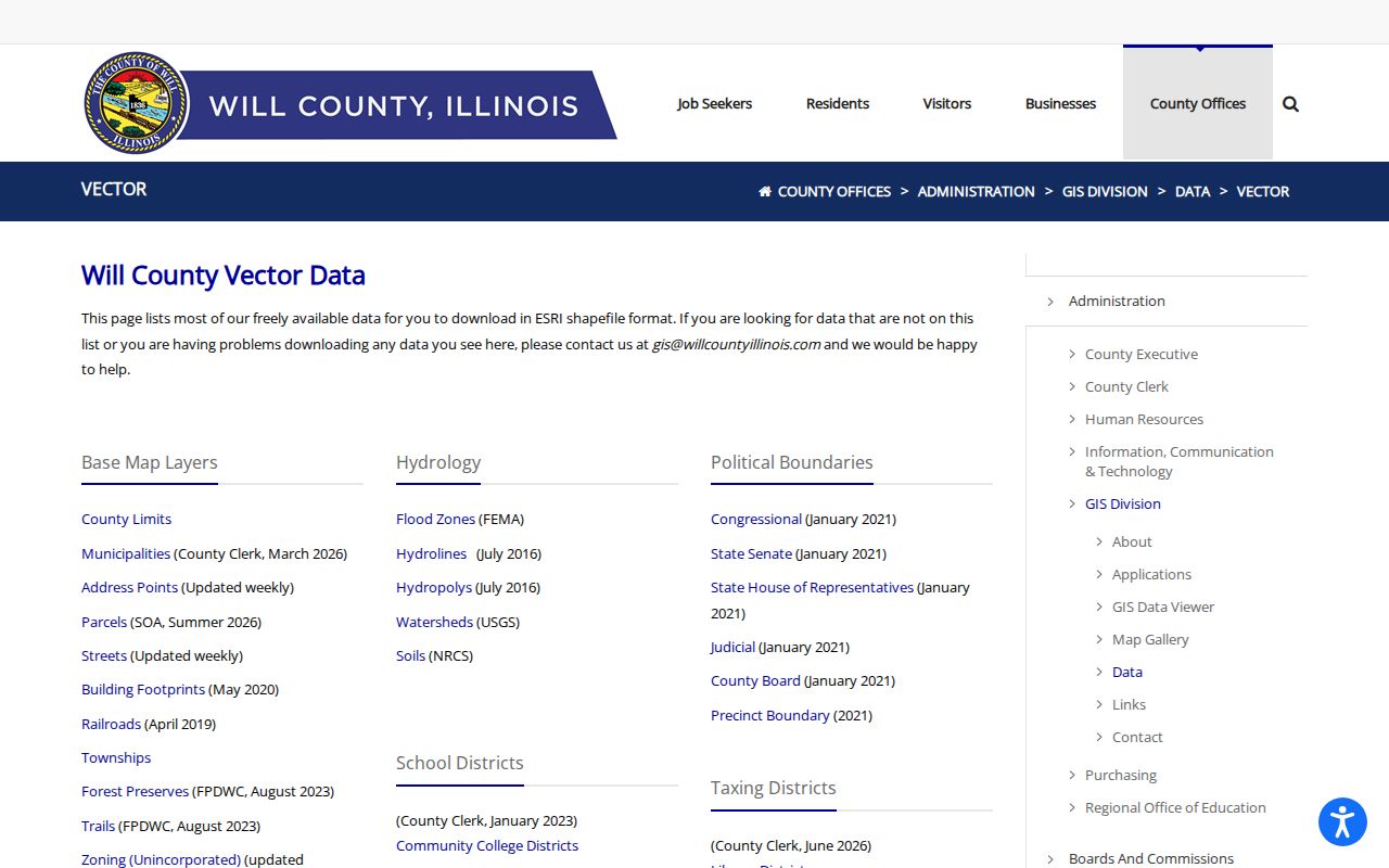
The published layer list helps distinguish a current map boundary from a private roster or informal neighborhood name.
Postal and municipal labels can conflict. For example, county ZIP data includes shared labels such as Joliet and Rockdale or Homer Glen and Lockport. Retain both the postal name and mapped municipality when describing the block.
Will County Community Geography
No official countywide directory of neighborhood associations, HOAs, or civic councils was found. That gap should not be filled with a promise of private member names. Use GIS for service geography, then ask the city or village clerk, community-development office, or FOIA officer whether a public civic-association contact list exists.
Will County GIS
Parcel, address, district, boundary, and map support.
302 N Chicago St, Joliet
815-774-6343
gis@willcounty.gov
Plainfield Library
Community history, local directories, cemetery files, phone books, and newspaper research.
15025 S Illinois St, Plainfield
815-436-6639
The Plainfield local-history collection appears below.
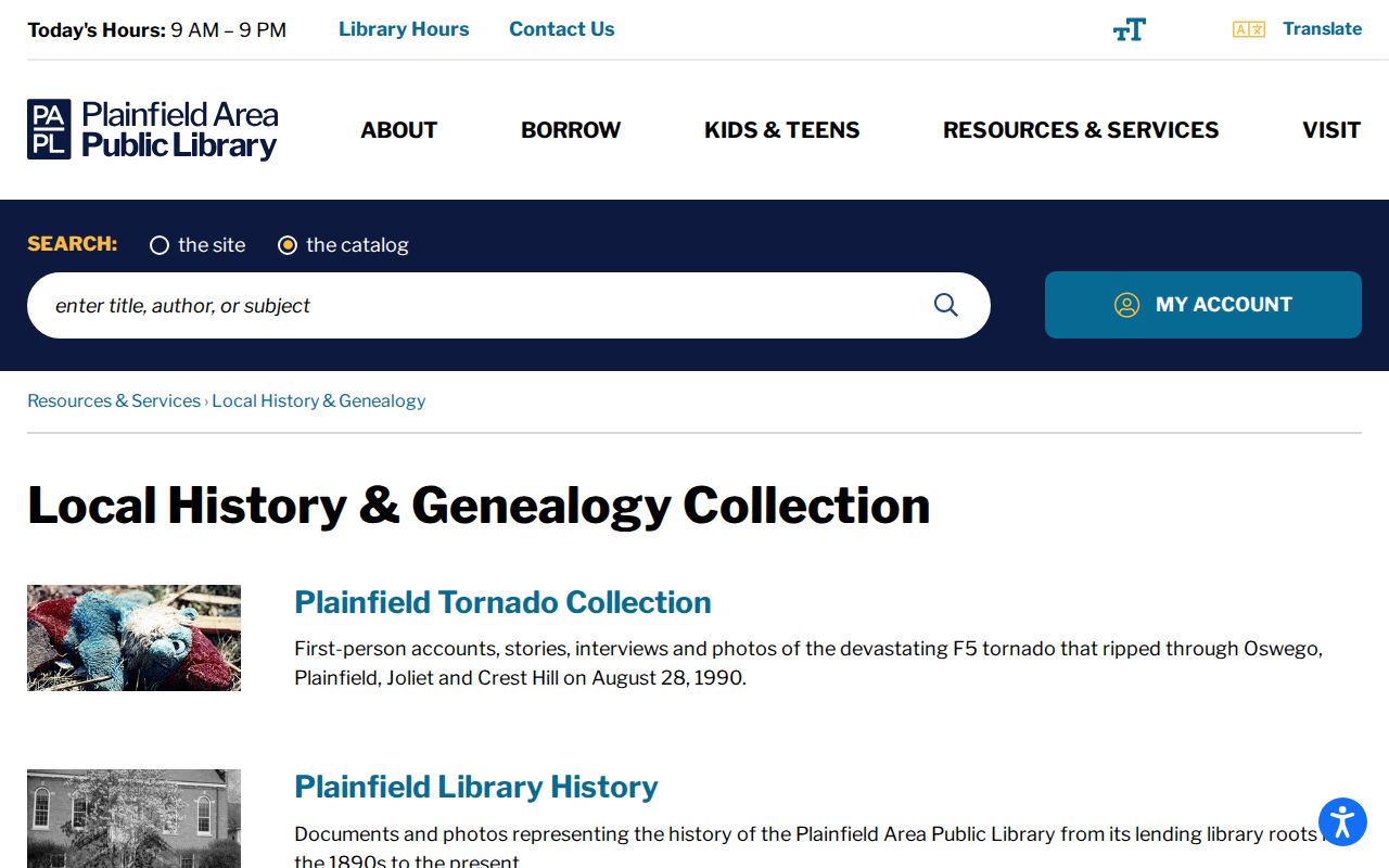
Historical church, school, cemetery, and newspaper clues can place past residents in a community without treating archive mentions as current membership.
Will County Voter Block Limits
The county voter lookup requires first name, last name, date of birth, house number, and street. It does not offer a browseable block list. State voter-file rules also redact social security numbers, street numbers, birth dates, phone numbers, and email from public releases and restrict purpose and use.
A block search may verify one permitted address match when the needed identity details are already known. It must not publish a street roster or infer every person on a parcel. Protected Address Confidentiality Program records use substitute-address handling.
Note: A registered voter match and an assessor owner match answer different questions; neither alone lists the full household.
Request Will County Block Records
Permits, code cases, and municipal licenses can add an address and date to block research. Will County has no verified public countywide permit search in the research. For an unincorporated parcel, identify the responsible office and ask for the address, PIN, date range, and record type. For an incorporated parcel, contact the city or village clerk or its FOIA officer.
Illinois FOIA gives a documented fallback when an existing public agency record is not exposed online. Noncommercial requests generally receive a response within five business days, with statutory extensions and exemptions. Ask for public records, not a private civic roster, utility account, delivery history, or guest list.
Find Earlier Will County Neighbors
Joliet Public Library keeps city directories from 1875 to the present with gaps and overlaps, plus newspapers, obituary indexes, yearbooks, and funeral brochures. Plainfield Area Public Library holds directories, phone books, cemetery and obituary sources. Printed street sections can rebuild a block for a chosen year even though a complete modern reverse-directory run was not verified.
The method is date-specific. Check a directory street section, compare the names with a newspaper or obituary index, then use the parcel or deed chain to test whether the address itself changed. Historical evidence should stay historical. A 1960s directory entry cannot prove who lives at the site today.
For the full named-road chain, the Will County streets search follows addresses beyond the immediate block.
Official Will County Neighbor Evidence
Commercial neighbor tools merge public and private data, may lag corrections, and can combine people with similar names. Official sources are narrower but reveal who keeps the record, what field was searched, and how to request a correction. That makes them easier to audit.
| Source Type | Strength | Limit |
|---|---|---|
| County GIS and assessment | Parcel-specific, current public geography | Owner is not every occupant |
| Recorder and clerk | Named custodian and document trail | Some images or files need a request |
| Commercial category | Broad name aggregation | Unclear merging, age, cost, and correction path |
Use official rolls for the fact they were designed to show. Never fill a missing household name with a guess from an aggregate profile.
Protect Your Will County Neighbors
Household members, guests, utility customers, delivery recipients, and visitors are not established by a parcel result. Driver address data is restricted. Court and vital records may be sealed or closed. The Illinois Address Confidentiality Program supplies a substitute address to eligible people and must not be defeated through a parcel or deed search.
A neighbor is a map relationship, not a personal one. Publish only the parcel geography and custodian links needed for a lawful task. If an index is wrong, send the office a PIN, case number, or document number so staff can review the exact record.
Blocks change between record dates. A parcel layer may be current while a deed reflects an earlier owner, a directory preserves a past household, and an aerial image captures construction before an assessment update. Record the publication, filing, or imagery date beside each result. That prevents an old name from being called a current neighbor.
Will County published April 2025 aerial imagery and maintains parcel, address, road, and boundary layers. Those sources can show when a street, building footprint, or subdivision appeared, but cannot identify people inside a home. Corner parcels may look adjacent without sharing the same postal street. Select each parcel and compare its situs, municipality, township, and PIN.
For a boundary or ownership dispute, rely on a recorded plat, deed, or qualified survey instead of visual proximity. GIS is a finding tool, not legal title. Save the selected parcel PIN and layer date with any map note. A later boundary update can then be distinguished from a research mistake, and the custodian can reproduce the exact block search.
If a parcel result is wrong, report the PIN and disputed field to the township assessor or county keeper. A precise correction request protects the whole block from repeated errors.
The official GIS viewer guide shows the county route to parcel, address, and district tools.
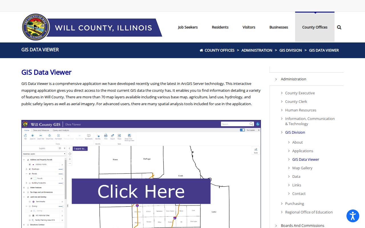
The guide helps confirm which public layers support a block search before names or boundaries are compared.
Lawful use. Search for Will County neighbors only for lawful block research, reconnection, or personal safety. Never watch, intimidate, stalk, harass, or harm anyone.