
Will County ZIP Coverage
The official Will County GIS ZIP polygon service maps postal areas for physical properties in and around the county. That “in and around” wording matters. The layer includes core county codes and border polygons that reach Aurora, Naperville, Tinley Park, Manteno, and other nearby postal areas. The first table in this ZIP code directory groups the most useful codes without claiming that each polygon lies wholly in Will County.
| ZIP | Areas Covered | Post Office Label | Notes |
|---|---|---|---|
| 60431–60436 | Joliet area | Joliet; 60436 also Rockdale | Check municipality and parcel for each address |
| 60403–60404 | Crest Hill and Shorewood | Crest Hill; Shorewood | Core county postal areas |
| 60440, 60490 | Bolingbrook area | Bolingbrook | Verify exact polygon near boundaries |
| 60441, 60491 | Lockport and Homer Glen area | Lockport; Homer Glen/Lockport | 60491 has more than one PO_NAME |
| 60544, 60585, 60586 | Plainfield area | Plainfield | Postal and municipal lines can differ |
| 60446, 60448, 60451 | Romeoville, Mokena, New Lenox | Named local post offices | Core north and central county areas |
| 60468, 60481, 60484 | Peotone, Wilmington area, University Park | Peotone; Custer Park/Wilmington; University Park | 60481 has two labels |
| 60503, 60564, 60565 | Aurora and Naperville edges | Aurora; Naperville | Border/shared codes, parcel intersection controls |
Other mapped combinations include Beecher, Braidwood, Channahon, Crete, Elwood, Frankfort, Manhattan, Monee, and many shared edge labels. Use the live polygon, not a city-name assumption. A complete Will County ZIP code directory must preserve these overlaps because they affect which municipal office or historic collection holds the next record.
Southern and rural polygons need the same care as suburban edges. The service shows Custer Park and Wilmington together for 60481, while codes tied to Coal City, Diamond, Minooka, Essex, Grant Park, and Manteno sit in the in-and-around layer. Select the physical property first. Then compare its county, township, and municipality instead of assigning the whole ZIP to one jurisdiction.
Inspect Will County ZIP Polygons
The county layer exposes ZIP and PO_NAME fields, plus update and notes data. PO_NAME is the postal office name. It is not a legal city-boundary field. The service supports map output and common data formats, with a maximum of 2,000 records observed during research. For a normal lookup, the visual polygon and one parcel are easier to interpret than a full data export.
The official ZIP layer field page shows the data behind the Will County ZIP code directory.
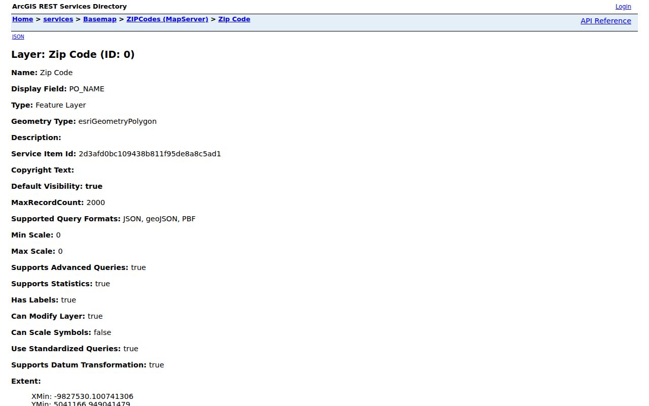
The field view makes the crucial split clear: the polygon has both a numeric ZIP and a separate post-office label.
| Field | What It Means | Search Use |
|---|---|---|
| ZIP | Five-digit postal code | Select or compare a postal polygon |
| PO_NAME | Post office name attached to the feature | Retain alternate labels in historic searches |
| NOTES | Layer note when supplied | Read before drawing a boundary conclusion |
| LASTUPDATE | Feature update information | Check currency of the mapped data |
Find Will County Records by ZIP
A ZIP is a filter, not a resident roll. The county GIS can select a polygon and show parcel or address context. The Recorder’s Direct Search offers an optional Address Zip field alongside party, street, date, and PIN fields. The Supervisor of Assessments address form and the county voter form did not expose a ZIP-wide filter during research.
- Verify the postal code for a full address with the official USPS lookup.
- Select that polygon in Will County GIS, then inspect the address points and parcels that actually fall inside it.
- Copy the parcel identification number, or PIN, from the relevant mapped property.
- Use the PIN in the Supervisor of Assessments portal for assessed parcel context, then in Recorder Direct Search for recorded documents.
- Confirm the name through the correct custodian. Do not treat an owner, voter, or directory match as proof of every occupant.
Once the search narrows to a named road, the Will County street directory explains the address-level chain. That handoff keeps this page focused on postal geography.
Verify a Will County ZIP
The USPS ZIP Code Lookup is the controlling route for the standardized city name, five-digit code, and ZIP+4 tied to an exact mailing address. Use it before relying on a remembered city label. A spelling difference or missing directional can point to the wrong result.
The lookup confirms delivery information. It does not identify the municipality, township, parcel owner, or county custodian.
- ZIP
- The five-digit postal delivery area assigned by USPS.
- ZIP+4
- The base code plus four digits that narrow delivery to a smaller segment.
- PO-box ZIP
- A code or use tied to post-office boxes rather than a broad street-delivery area.
- Unique ZIP
- A code assigned to one high-volume institution or organization.
- Carrier route
- A mail-delivery path within a ZIP, not a city or property boundary.
USPS standardization is most useful when the source gives an incomplete or informal address. Enter the full number, directional, street name, suffix, and unit if known. Save both the standardized city and ZIP+4, but keep the original wording in research notes. The difference may explain why a county portal or historical directory uses another place name.
Will County ZIPs Versus Cities
USPS delivery geography does not follow municipal or county law. The county’s GIS layer can show 60436 with Joliet and Rockdale PO_NAME values, 60491 with Homer Glen and Lockport, and 60407 with Braceville and Godley. A Plainfield, Aurora, Naperville, Bolingbrook, Lockport, or Homer Glen mailing label can overlap another municipality or an unincorporated pocket.
Compare the ZIP layer with the county municipality layer and parcel geometry. Will County has 31 municipalities and 24 townships, so city hall, township, and county records may all be relevant within one postal area. The county highway and local-government overview confirms that civic geography.
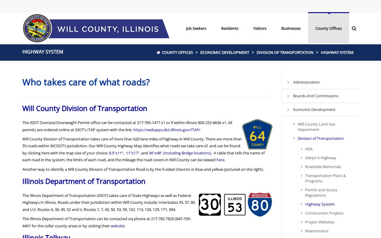
The county overview supplies the municipal and township frame that a postal map alone cannot provide.
The legal office follows the record, not the mailing label. A deed and parcel remain county records. A permit may belong to a city or to county land use, depending on incorporation. A historical newspaper or directory may be filed under the post-office name. Keeping these layers separate avoids sending a precise request to the wrong desk.
Shared Will County Postal Names
Shared labels are more than a map quirk. Old directories, newspapers, deeds, and family papers may file the same place under a post office, township, nearby city, or unincorporated locality. Retain every label found for the parcel and search each one. This comparison is especially useful near Rockdale, Homer Glen, Godley, Aurora, Naperville, Tinley Park, and Manteno edges.
The GIS ZIP polygon screenshot gives a visual view of that shared geography. Open the Will County ZIP map service before reading the captured version.
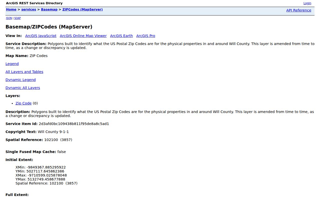
The map image helps locate overlaps, while the live layer remains the source for an exact parcel check.
No official Will County or USPS source in the research established a local ZIP split or realignment year. Do not infer one from a change in a directory heading. Historical post-office clues can be checked through the USPS post offices by ZIP resource, then current delivery must be verified again.
A boundary mismatch also affects statistics. Population totals and parcel counts for a ZIP do not equal a city total because the units have different edges. The layer includes a population-related field, but it is not a current resident roster. Use dated Census geography for population analysis and custodian records for a named person or parcel.
Historic Will County ZIP Clues
For family or place research, a postal name can lead to the right directory shelf even when today’s municipal label differs. Search the city directory or newspaper under both the old post-office name and the present municipality. Then use atlases, Sanborn maps, annexation records, and deeds to test whether the address stayed in place while its label changed.
The USPS historical post-office page provides a useful starting point.
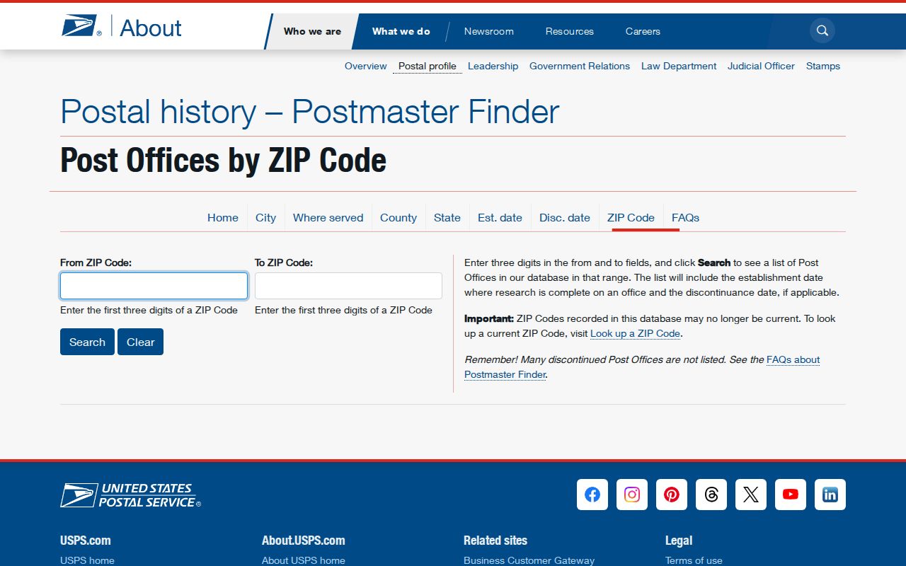
The historical list can suggest another place name, but it should be paired with a dated map or directory before drawing a family-history conclusion.
Keep Will County ZIP Results Current
County GIS is updated in parts, not as one single date. Current listings identify address points and streets as weekly updates, Supervisor of Assessments parcels as Summer 2026 data, municipalities as March 2026 data, and aerial imagery from April 2025. The ZIP service says its polygons are amended periodically. A fresh address can therefore appear in one layer before another catches up.
When layers disagree, use a short verification chain: USPS for the delivery address, Will County GIS for polygon and municipal context, the assessor for parcel data, and the Recorder for recorded ownership documents. County 9-1-1 maintains address data used by the assessor’s address search and provides a new-address assignment and verification route.
Save the lookup date and the exact form used. A later map update may change a line or label without changing the underlying deed. Clear notes make it possible to repeat the ZIP code directory search and explain why two official screens once appeared to disagree.
Note: The Will County ZIP code directory narrows the area; only the custodian’s current record can confirm the fact being researched.